Explore this post with your favourite AI tool:


Share this article with AI tools to summarise, remember, or explore the content further.
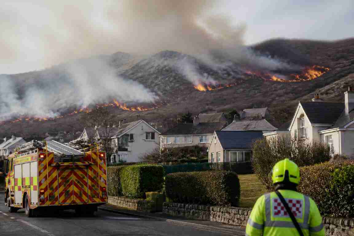
The launch of a new interactive uk wildfire map has highlighted the growing threat to properties as a major incident unfolds in North Wales. Emergency services have evacuated dozens of residents from Conwy Mountain as dry conditions intensify the risk across several UK regions.
Specialist fire crews and the North Wales Police declared a major incident this week following a significant blaze on Conwy Mountain. The fire, which spread rapidly across gorse and bracken, forced the evacuation of approximately 60 people from their homes. Local residents were directed to a nearby pub for safety while firefighters from across the region battled to contain the flames in challenging terrain.
This incident is not an isolated event but part of a wider trend that facilities managers and rural property owners are increasingly forced to address. Data from the uk wildfire map suggests that while the uplands of Wales and Scotland remain naturally vulnerable, the risk profile for parts of southern England and East Anglia is shifting due to prolonged dry spells. For those managing assets on the urban-rural fringe, the proximity of combustible vegetation to physical structures is becoming a primary safety concern.
The operational reality of the uk wildfire map risk
The situation in Conwy demonstrates how quickly a localized fire can escalate into a compliance and safety crisis. For dutyholders, the immediate concern is the protection of life, but the secondary impacts—smoke inhalation risks for staff, disruption to supply chains, and the integrity of building envelopes—require a more strategic approach to outdoor fire risk management than many currently employ.
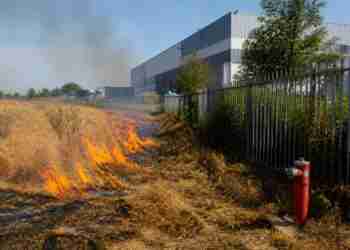
Fire and rescue services have noted that “fuel loading” in the countryside is at a critical level. In the context of property management, this refers to the buildup of dry vegetation, unmaintained grassland, or wooden fencing and decking that can act as a bridge for fire to travel from the wildland into the built environment. Reviewing the uk wildfire map allows responsible persons to gauge when local conditions require heightened vigilance and the suspension of high-risk activities.
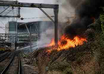
Recent patterns show that wildfires are no longer confined to remote moorlands. They frequently threaten infrastructure, telecommunications hubs, and industrial estates located near green belts. The evacuation in North Wales serves as a reminder that the boundary between “the wild” and habitable space is increasingly porous, necessitating a review of external fire risk assessments.
Implications for dutyholders and property managers
Under the Regulatory Reform (Fire Safety) Order 2005, or the equivalent legislation in Wales and Scotland, the responsible person must ensure that fire risk assessments are current. While these assessments typically focus on the internal conditions of a building, the growing frequency of incidents seen on the uk wildfire map suggests that external environmental risks now require more detailed consideration.
For those managing sites near heathland, forest, or extensive grasslands, compliance should extend to maintaining “defensible space.” This involves managing vegetation to ensure there is a break between combustible flora and the building itself. It is also worth considering the vulnerability of HVAC systems; during the Conwy incident, the volume of smoke produced posed a significant air quality risk to nearby internal environments, even those not directly in the path of the flames.
Contractor management is another critical area. During periods where the uk wildfire map indicates high or extreme risk levels, “hot works” such as grinding, welding, or using bitumen boilers in outdoor areas should be strictly controlled or postponed. A single spark in the current climate can trigger a major incident similar to the one currently being managed by North Wales Fire and Rescue Service.
Emergency planning and business continuity
The evacuation of 60 residents to a local pub in Conwy illustrates the unpredictable nature of these events. For business owners and facilities managers, this highlights the necessity of having “shelf-ready” evacuation and continuity plans. If a site becomes inaccessible due to a wildfire or if the police declare a major incident, the ability to account for staff and secure the premises quickly is paramount.
Property managers should also consider the impact on insurance. As wildfire risk becomes a more permanent fixture of the UK’s environmental landscape, insurers are looking more closely at how proactively dutyholders are managing their external grounds. Evidence of regular vegetation clearance and the inclusion of wildfire scenarios in emergency drills are likely to become standard requirements for high-risk locations.
As the incident in North Wales continues to be monitored, the focus for safety professionals remains on prevention and early detection. Relying solely on the arrival of the fire service may not be enough when resources are stretched across multiple fronts during a heatwave or dry spell. Strategic landscape management and robust external fire safety protocols are the most effective tools for protecting assets and lives from an increasingly volatile climate.